Overview
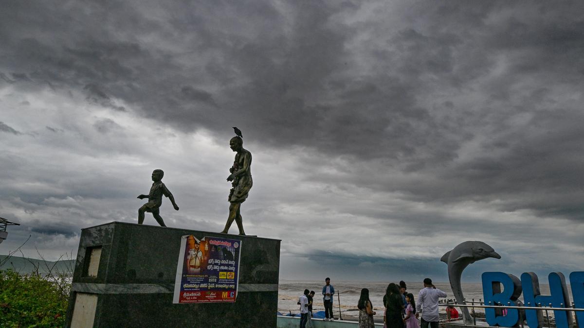
The Indian Meteorological Department (IMD) has issued a forecast indicating that a low‑pressure area, which formed over the Andaman Sea, is expected to strengthen over the next three days and move toward the coast of Andhra Pradesh. The system is projected to bring heavy rain to the region beginning on November 1.
Key Developments
- The low‑pressure system is currently located over the Andaman Sea.
- Over the next 72 hours, the system is expected to intensify.
- It is forecast to approach the Andhra Pradesh coastline, where it will bring heavy rainfall.
- The heavy rain is expected to start on November 1 and may continue into the following days.
Background & Context
Low‑pressure systems over the Bay of Bengal are a common precursor to heavy monsoon rains along India’s eastern coast. When such a system moves inland, it can cause widespread rainfall, flooding, and disruptions to transportation and agriculture.
Impact & Analysis
- Flooding risk: Coastal towns may experience flash floods, especially in low‑lying areas.
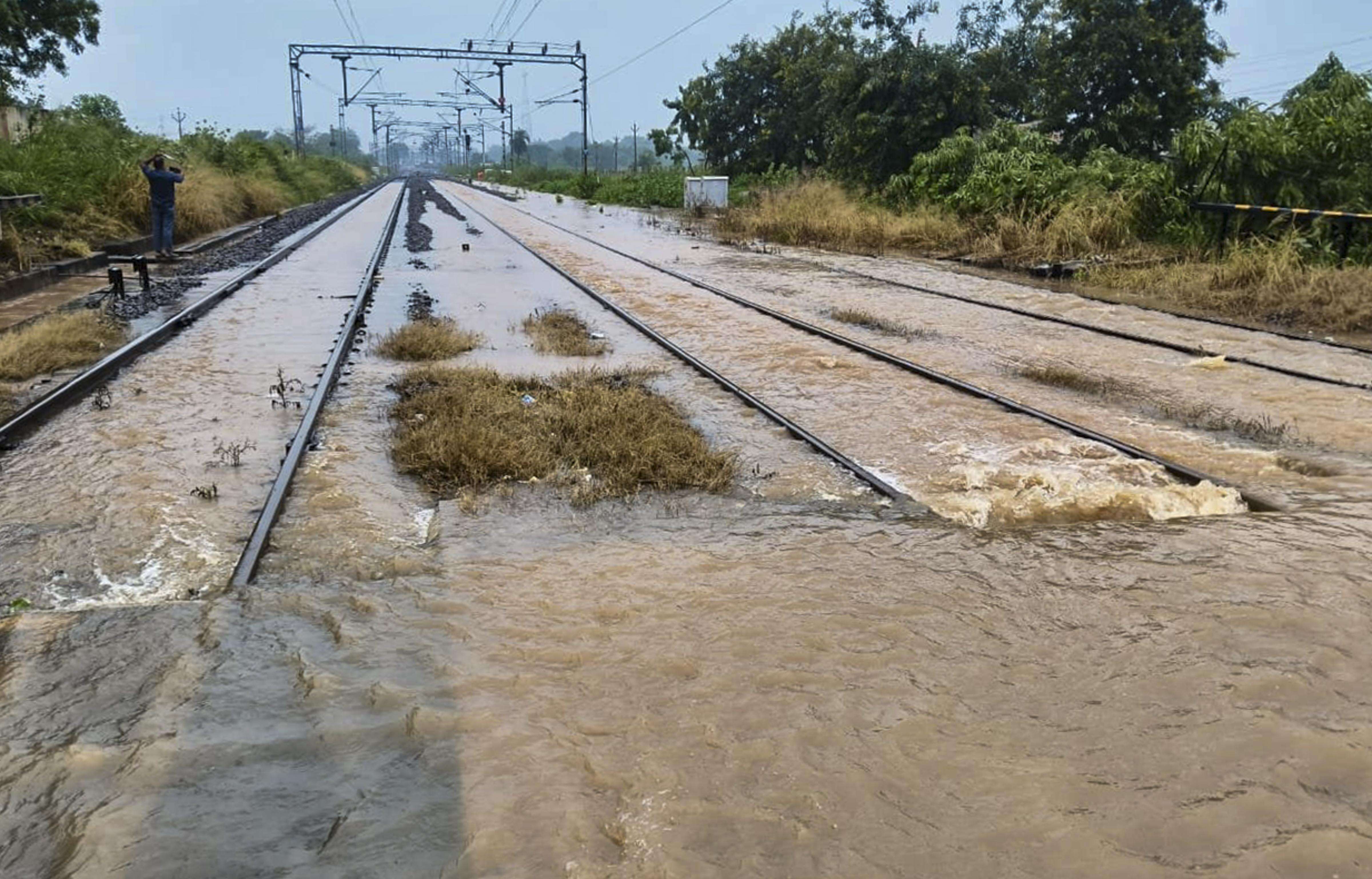
- Transport disruptions: Roads and railways could be affected by waterlogging.
- Agricultural impact: Crops in the region may be exposed to excessive moisture, potentially affecting yields.
- Public safety: Residents are urged to stay updated on local advisories and avoid unnecessary travel.
Next Steps
- The IMD will continue monitoring the system and issue further weather advisories as needed.
- Local authorities in Andhra Pradesh should prepare contingency plans for potential flooding.
- Residents should keep emergency supplies ready and heed any instructions from local officials.
The alert is also relevant for West Bengal readers, as similar low‑pressure systems can affect the coastal districts of West Bengal during the monsoon season.