Overview
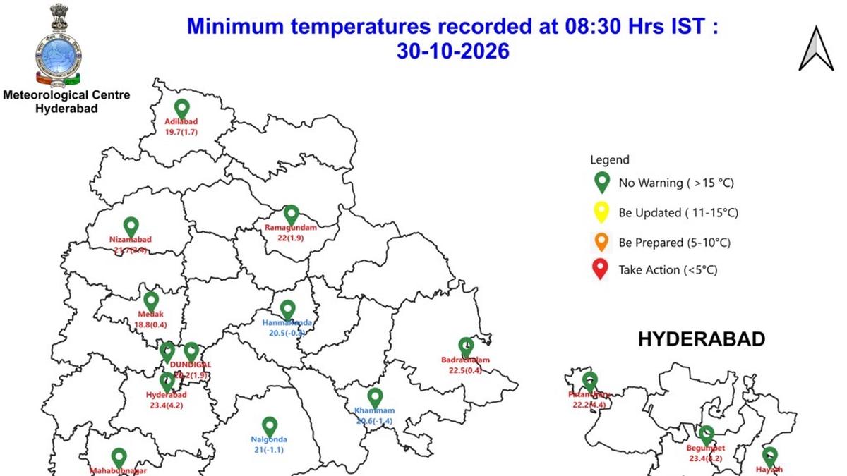
Weather officials have issued a warning for thunderstorms that are expected to affect 11 districts in Telangana from Friday afternoon through the morning of Saturday. The region’s minimum temperature on October 30 is projected to be between 18 °C and 25 °C, with the Greater Hyderabad Municipal Corporation (GHMC) recording a low of 22.2 °C.
Key Developments
- Affected districts: Eleven districts across Telangana will experience thunderstorms.
- Timing: The storm activity is anticipated to begin in the afternoon of Friday and continue into the early hours of Saturday.
- Temperature range: Minimum temperatures are expected to fall between 18 °C and 25 °C on the morning of the 30th.
- GHMC specifics: The Greater Hyderabad Municipal Corporation’s lowest recorded temperature for the day will be 22.2 °C.
Background & Context
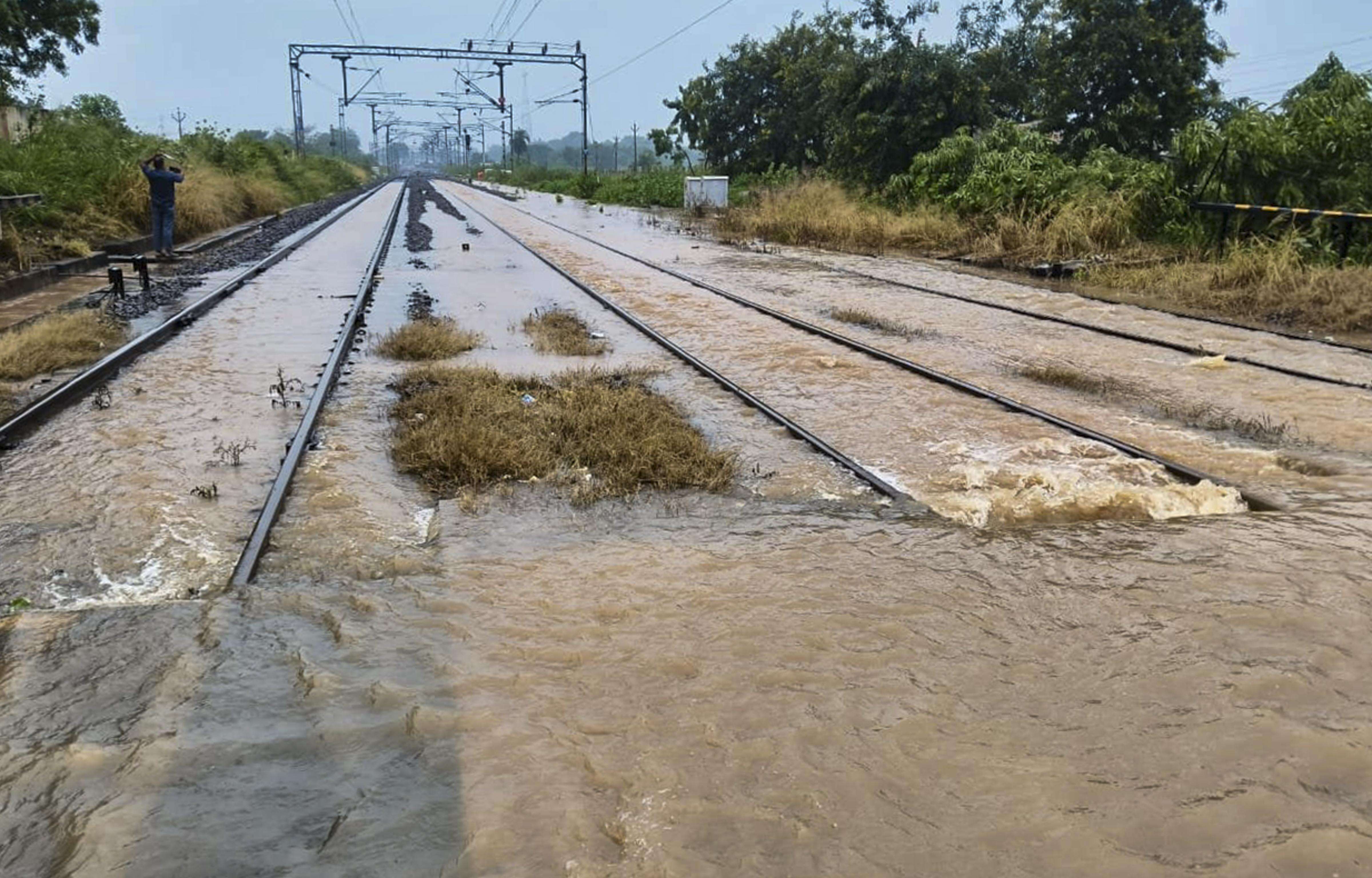
Telangana’s monsoon season often brings sudden heavy rainfall and thunderstorms, especially during late October. These weather patterns can lead to flash floods, waterlogging, and disruptions to transportation and daily life. The recent forecast follows a period of rising humidity and atmospheric instability noted by meteorological observations.
Impact & Analysis
- Flood risk: Heavy rains may overwhelm drainage systems in urban areas.
- Transportation: Roads could become slick and visibility reduced; commuters should exercise caution.
- Public safety: Residents should stay indoors during peak storm times and keep emergency supplies ready.
- Infrastructure: Power lines and utility services might be affected by strong winds and downed trees.
What Happens Next
- Monitoring: Meteorological departments will continue to track storm development and issue real‑time updates.
- Preparedness measures: Local authorities are advised to deploy emergency response teams and clear drainage channels.
- Public advisories: Residents are urged to follow official weather alerts and stay away from flood-prone areas.
The weather forecast will be updated as new data becomes available, ensuring that residents remain informed of any changes to the storm’s path or intensity.